
Use cases · Government
See the next emergency taking shape, region by region.
Emergency management, health, transport and planning agencies use Flowershift to see risk build across a state days ahead, and to compare it with events they’ve already lived through.
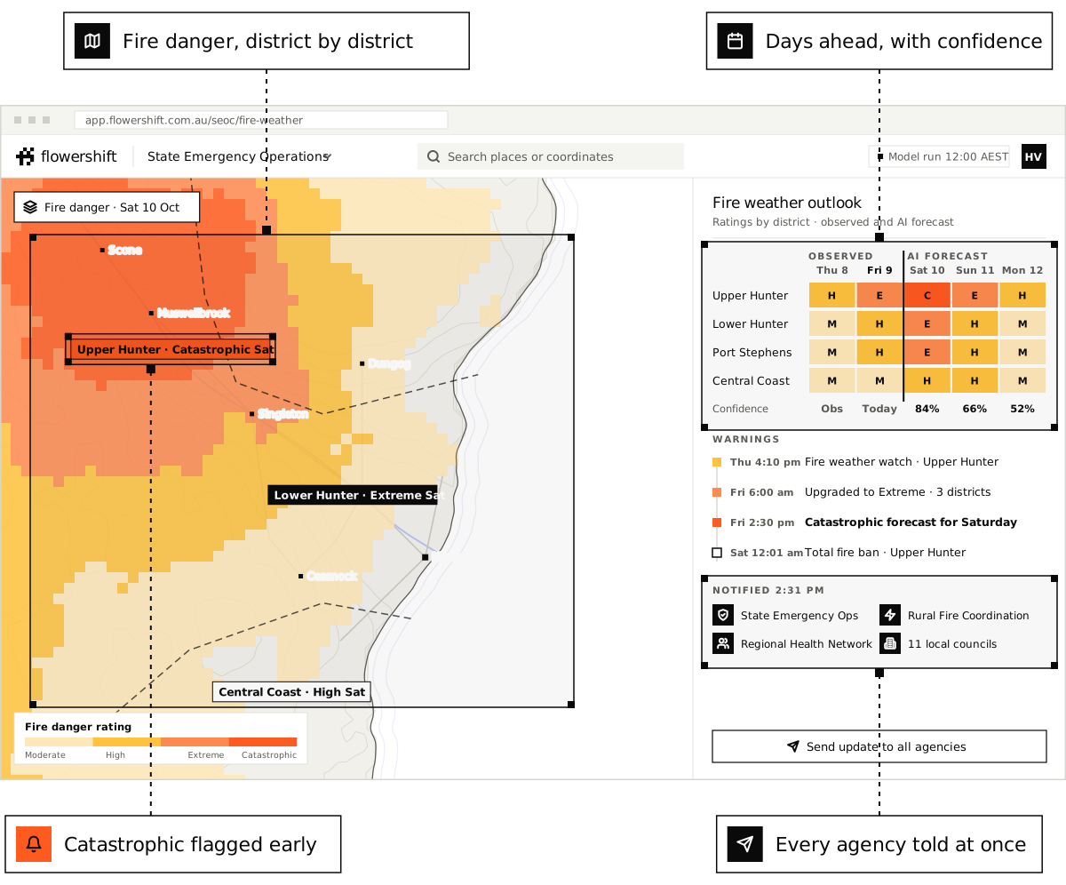
- severe weather outlook
- 7 days
- severe weather outlook
- of past events to compare
- 70 years
- of past events to compare
- on one map
- Every region
- on one map
Government
How teams use it.
Risk across the state
Heat, fire weather, storms and rain totals by region, so resources can be moved before they’re needed.
Matched to past events
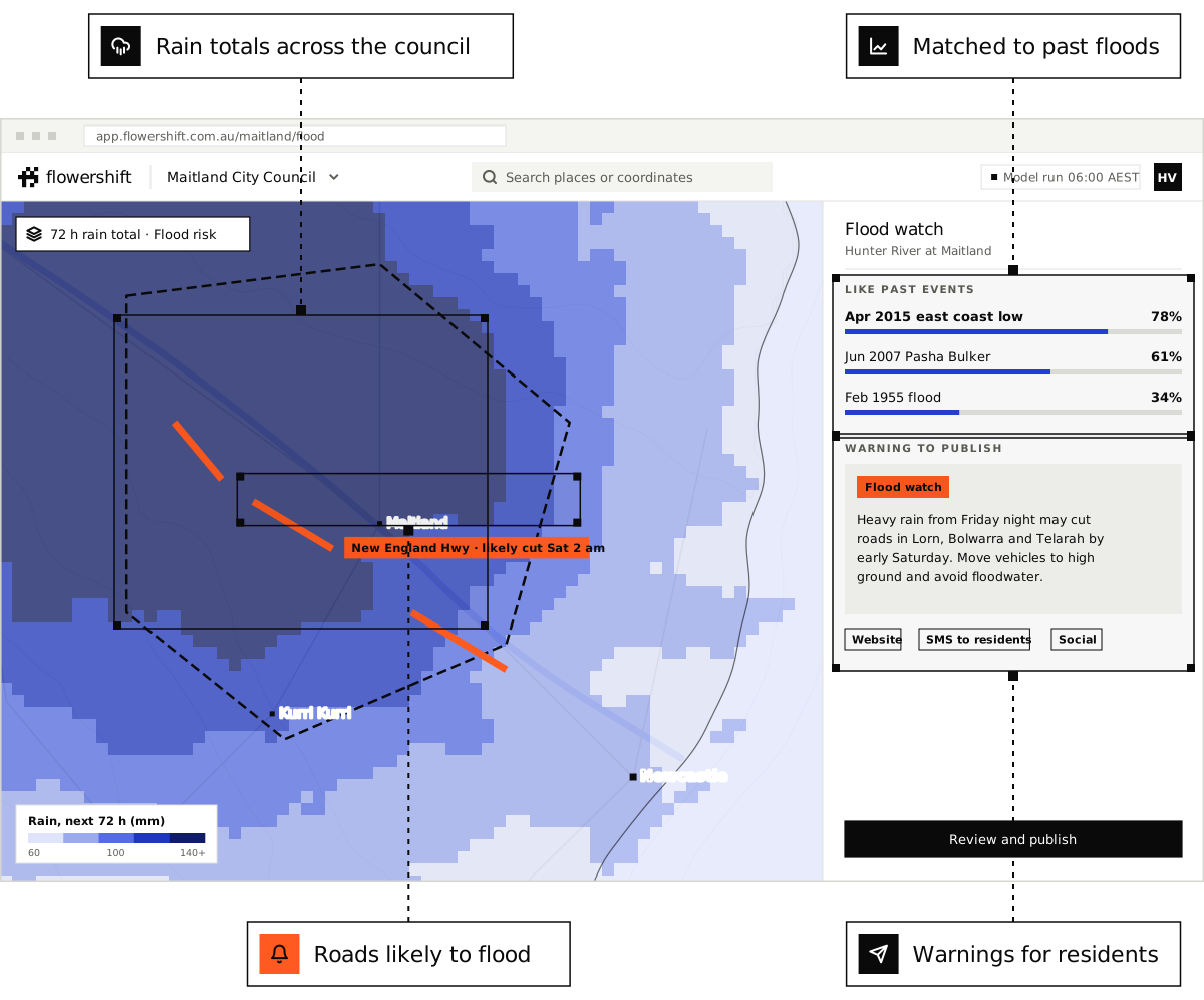
See which past heatwaves, floods or storms the forecast looks most like, and what happened then.
Every agency, one picture
Share regions and alerts between agencies and teams, each seeing what matters to them.
Planning and response on the same data.
Use the same forecasts and history for long-range planning, seasonal readiness and the hours before an event.
- Heatwave and fire weather forecasts by region
- Flood risk from rain totals and history
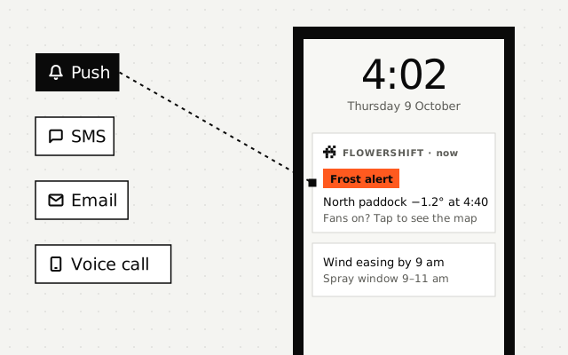
- Alerts routed to each agency and region
- Climate and history data for planning
- Hosting in Australia, with security documents for review
Features used
Questions.
Does Flowershift replace official warnings?
Where is the data hosted?
Do you work with local councils?
Prepare for the next event, not the last one.
Book a demo set up on your own regions, or contact us about procurement and security review.
See pricing
Pay per location, alert and API call. No lock-in, and a cap so there are no surprises.
Sign up
Add your first locations and alerts in a couple of minutes and try it yourself.